Community
Tropical Storm Arthur Forms No Direct Impacts to Central FL | June 17th Forecast
By Marcus Chen
WESH 2 Orlando
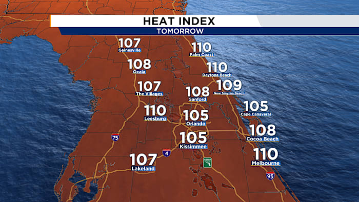
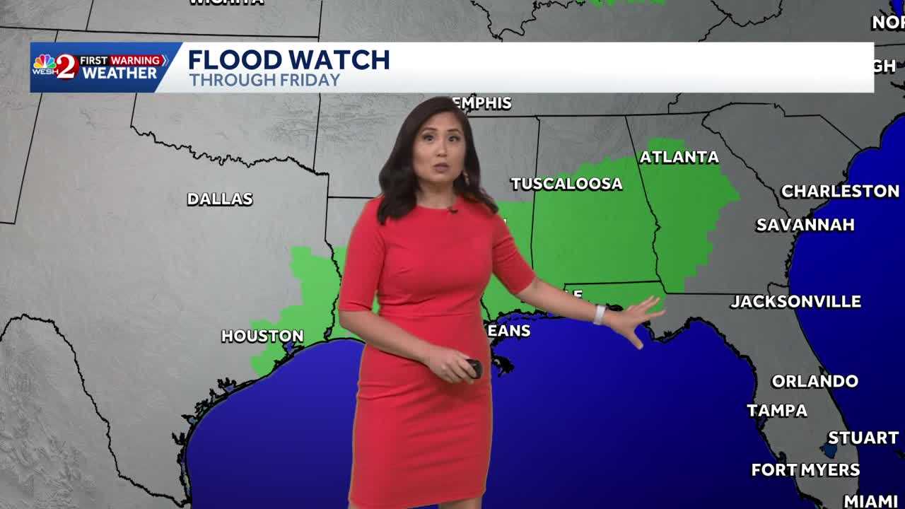
Wednesday featured blistering heat and less rain as we enjoyed a brief stint of some drier air. We say goodbye to that dry air Thursday and replace it with deeper moisture.Our Thursday will start off with a sun/cloud mix and dry conditions. This will allow us to quickly heat up into mid-upper 90s as heat indices topple 100ºF. This is the spark we need to turn that deeper moisture into storms. Expect scattered storms to start developing west of I-4 right after lunchtime. With our westerly breezes continuing, our showers will push from west to east. Scattered thunderstorms will dance over the I-4 corridor mid-afternoon and scatter from I-4 to I-95 for the evening commute. Showers will hug the coastline late afternoon and linger until 9-10pm. We will dry things out after that.Rain chances remain elevated Friday and into the weekend as leftover moisture from Arthur will be pushed into Florida thanks to a weak cold front sliding southward. Scattered to numerous thunderstorms will spread acr
Source: ClickOrlando Local
Ad Space Available
mid-article · 728px
By Marcus Chen
WESH 2 Orlando

By Katherine Langford
WFTV Orlando Local

By Marcus Chen
WFTV Orlando Local
By Katherine Langford
WESH 2 Orlando